 Official Government Website
Introduction
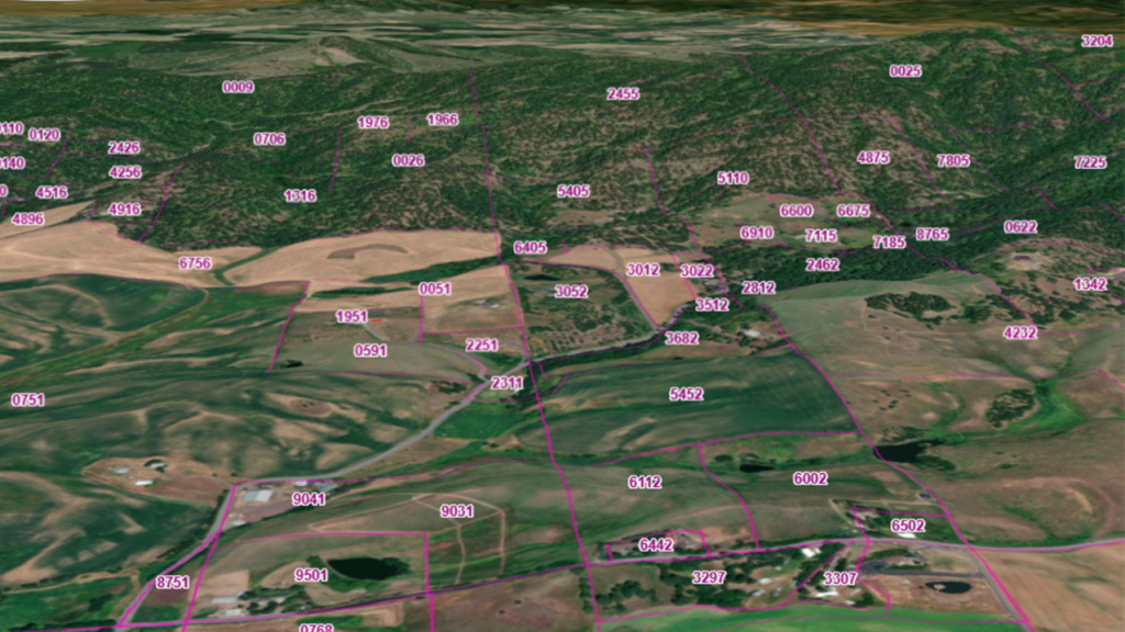
Parcels represent ownership or other interests in land, and the Framework includes private and public lands. Parcel data can be used for planning, emergency response, assistance to counties, economic development, citizen notification of activities in the area, planning for land use and transportation as well as many other needs.
Vision
Idaho has a statewide parcels framework layer that is beneficial to both the counties that produce parcel data and the agencies and citizens that consume parcel data in a way that is secured and shared based on agreements between counties, ITS and data consumers. Parcel data is regularly maintained and approved, and data delivery is based in a predictable, stable, standard schema.
Goals
Implement the vision and increase the use participating in parcel data sharing by engaging stakeholders in standards development, establish work flows and data sharing agreements and promote the benefits for data producers and consumers. Identify, calculate and communicate the benefits of more easily available parcel data.
Framework Layer

Parcels
This dataset is a combination of a polygon layer, a point layer and a table. The polygon and point layer depict parcel boundary outlines and parcel centroids respectively. The table displays attributes associated with improvements associated with each parcel.
Leadership
Megan Wheatley
Idaho Department of Fish & Game
Megan.Wheatley@idfg.idaho.gov
Next Meeting
Check the calendar for meeting information.