There are four standing members of the IGC Executive Committee
Idaho Geographic Information Officer (GIO) – Keith Olson

Keith Olson serves as the GIO for Idaho and GIS Manager for the Idaho Office of Information Technology Services (ITS). His expertise includes developing cartographic and spatial data quality standards, building custom GIS tools, and remote sensing applications. He previously served as a GIS Coordinator for the Idaho Military Division and was a GIS Development Lead at Colorado State University. Keith is passionate about clear, effective cartographic communication and leveraging spatial thinking to support informed decision-making. He holds a Master of Science in GIS and Remote Sensing from Colorado State and has been a certified GIS Professional (GISP) since 2010.
Idaho Geospatial Clearinghouse/Portal Manager – Bruce Godfrey

Bruce Godfrey, GIS Librarian at the University of Idaho. Bruce has held positions as a GIS technician and a GIS specialist in his over 20 years of working experience with GIS. He holds a GIS Professional (GISP) certification and he is currently serving as a Standing Member of the IGC-EC as the Idaho Geospatial Clearinghouse (INSIDE Idaho) Manager.
GIS Training and Research Center Manager – Keith Weber

Keith Weber is the GIS Director at Idaho State University and has held this position since founding the GIS Center in 1998. He has worked in the Geospatial industry since 1989, is a Certified GIS Professional (GISP), and recipient of Esri’s SAG award in 2000 and again in 2013, as well as the Geospatial Professional Network’s ESIG award in 2014 for his wildfire decision support system work. Keith is the Science Advisor for NASA DEVELOP at ISU, a standing member of IGC-EC, and chair of the Geodetic Control TWG.
USGS Liaison for the State of Idaho – Elaine Guidero
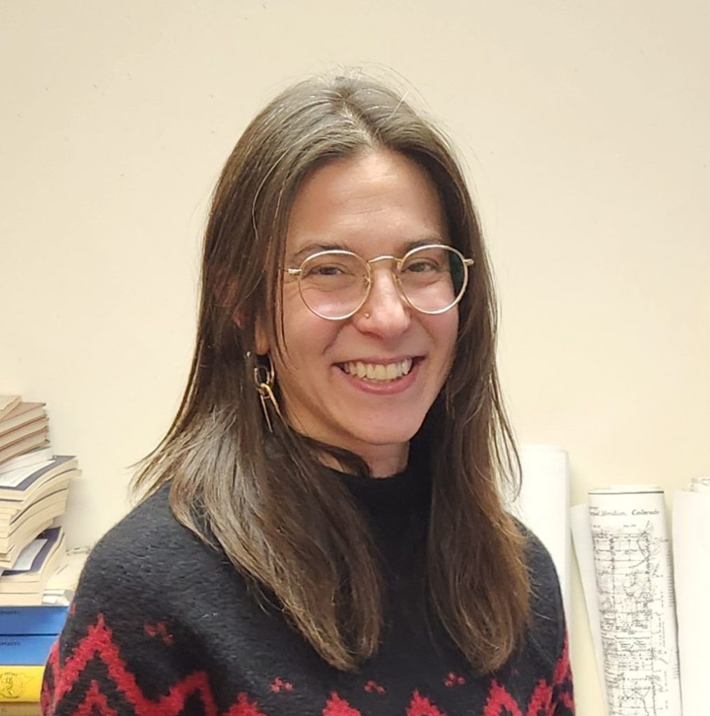
Elaine Guidero is the USGS National Map Liaison for Idaho, Montana, North Dakota, and South Dakota, coordinating geospatial data activities for The National Map, 3D Elevation Program, and 3D Hydrography Program. Elaine has worked for the USGS since 2012, first as an applied researcher of multi-scale cartography in the National Geospatial Technical Operations Center, and then becoming a liaison with the National Geospatial Program in 2020. She has a Ph.D. and M.S. in Geography from Penn State.
There are 12 Elected Members
Two State Agency Representatives
Megan Wheatley – Idaho Department of Fish and Game (Term Ends: Mar 2026) (IGC-EC Chair)

Megan obtained her bachelor’s degree in Geography specializing in GIS from the University of Nevada, Reno in 2019 and her PMP certificate in 2025. Megan grew up in Nevada and made Boise home base in 2021. She started her career in the private sector as a geologist and database administrator and came back to GIS in 2021 when she was offered the opportunity to create a data centric workflow for the City of Eagle. In 2023, she started her career in state government working at the Office of Information Technology Services supporting several modernized state agencies and counties. That role also gave her the opportunity to work with the GIS community here in Idaho and throughout the country as well as contribute towards the Idaho Spatial Data Infrastructure. In 2025, she moved to the Idaho Department of Fish and Game to contribute toward conservation efforts! Megan has been a support role for the IGC-EC for 2.5 years and chairs the Parcel TWG and looks forward to continuing to work in the capacity of State Seat 1 and Chair for the Idaho GIS community!
Gabe Osterhout – Idaho Secretary of State (Term Ends: Mar 2027)
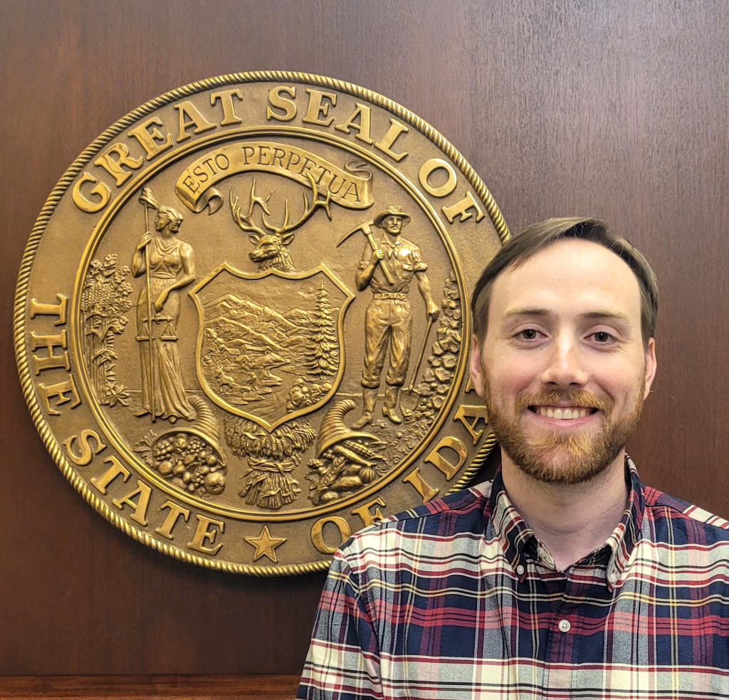
Gabe Osterhout is the data visualization specialist at Idaho Secretary of State, where he creates dashboards about registered voters, campaign finance, and election results. He previously worked as a research associate at the Idaho Policy Institute at Boise State University. Gabe earned a bachelor’s degree from The College of Idaho and a master’s degree from King’s College London. He once held the Guinness World Record for the fastest time to identify all national flags.
Two Federal Agency Representatives
Eric Buehler – United States Department of Agriculture (Term Ends: Mar 2027)
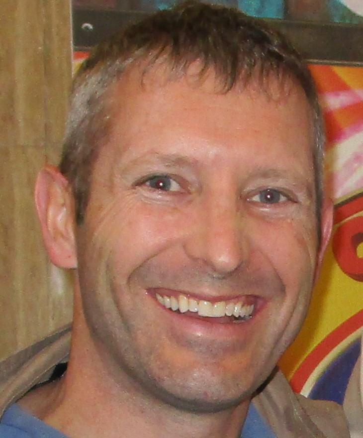
Eric Buehler holds a bachelor’s degree in Geographic Information Systems and a master’s degree in Natural Resources. Eric has been a GIS Specialist for the United States Department of Agriculture Farm Service Agency for the past 6 years and is transferring to the Natural Resources Conservation Service this spring. He loves all things GIS and outdoors. He has been on the SWIG committee for several years, including the SWIG Chair in 2018. Previous to his federal government position, he was the GIS Manager for Horrocks Engineers (covering several western states) and also involved with the Utah Valley GIS user group leadership. He has worked in both the private and public sectors of GIS for over 15 years. When not working on GIS he enjoys coaching several youth soccer teams, playing frisbee golf, and has recently gotten into pinball. He enjoys being involved in the GIS community both at the local and state levels and was appointed to fill the remaining term for the Federal seat 3. He is looking forward to the opportunity to serve Idaho GIS in this capacity for a full term.
Ryan Howerton – Naval Nuclear Laboratory (Term Ends: Mar 2026)

Ryan Howerton GISP, GIS System Administrator for Fluor Marine Propulsion. Ryan obtained his master’s degree in GIS from Idaho State University in 2016 and his GISP in 2024. Shortly after graduating from Idaho State University, he started his professional GIS career as a GIS Specialist for the City of Chubbuck. After 3 years, Ryan moved into a position as the GIS Coordinator for the City of Pocatello. In late 2023, Ryan made the move to work as a contractor with the Naval Nuclear Laboratory(NNL) to help guide the deployment of Enterprise GIS for the NNL.
Three Local Government Representatives
Cyndi Andersen- City of Meridian (Term Ends: Mar 2027)
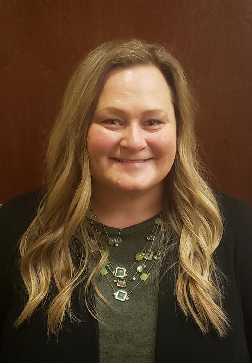
Cyndi Andersen is the GIS Program Manager for the City of Meridian. As a GIS practitioner for more than 25 years, she earned her GIS Profession (GISP) certification in 2014 and has GIS experience at the city, county, and state levels of government. She has a Master’s in Public Administration, Bachelor’s in Technology and Management w/GIS minor, and began her career with an Associate’s degree in Civil Engineering. Over the years, she has participated in local and regional GIS groups and previously served on the IGC-EC from 2018-2021; during which she helped plan conferences, contributed to policy development, and has participated on several IGC-EC TWG’s. She enjoys being involved in the GIS community and looks forward to more in the coming years!
Bob Folsom – City of Post Falls (Term Ends: Mar 2026)
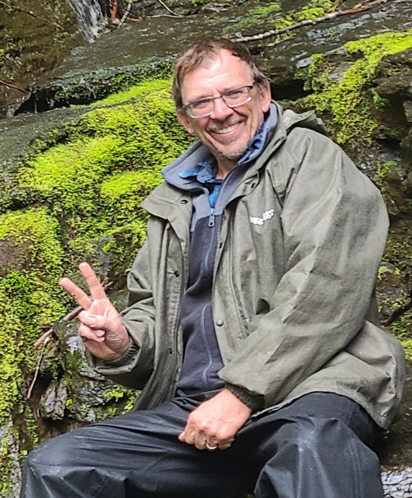
Bob Folsom, GIS Coordinator with the City of Post Falls. Bob has worked in the GIS industry for over 30 years. Prior to his employment with the City of Post Falls he worked for the Spokane County Assessor’s Office researching and creating Tax Parcel data from Land Surveys, Simultaneous Conveyances, and deeds of record. He has worked for the City of Post Falls for the last 7 years and absolutely is enjoying having the opportunity to take an active role in not only the data creation step but the sharing of the GIS Spatial data to assist in the making of decisions by not only to the Employees of the City but the Public as well.
Sue Parsons – City of Chubbuck (Term Ends: Mar 2026)
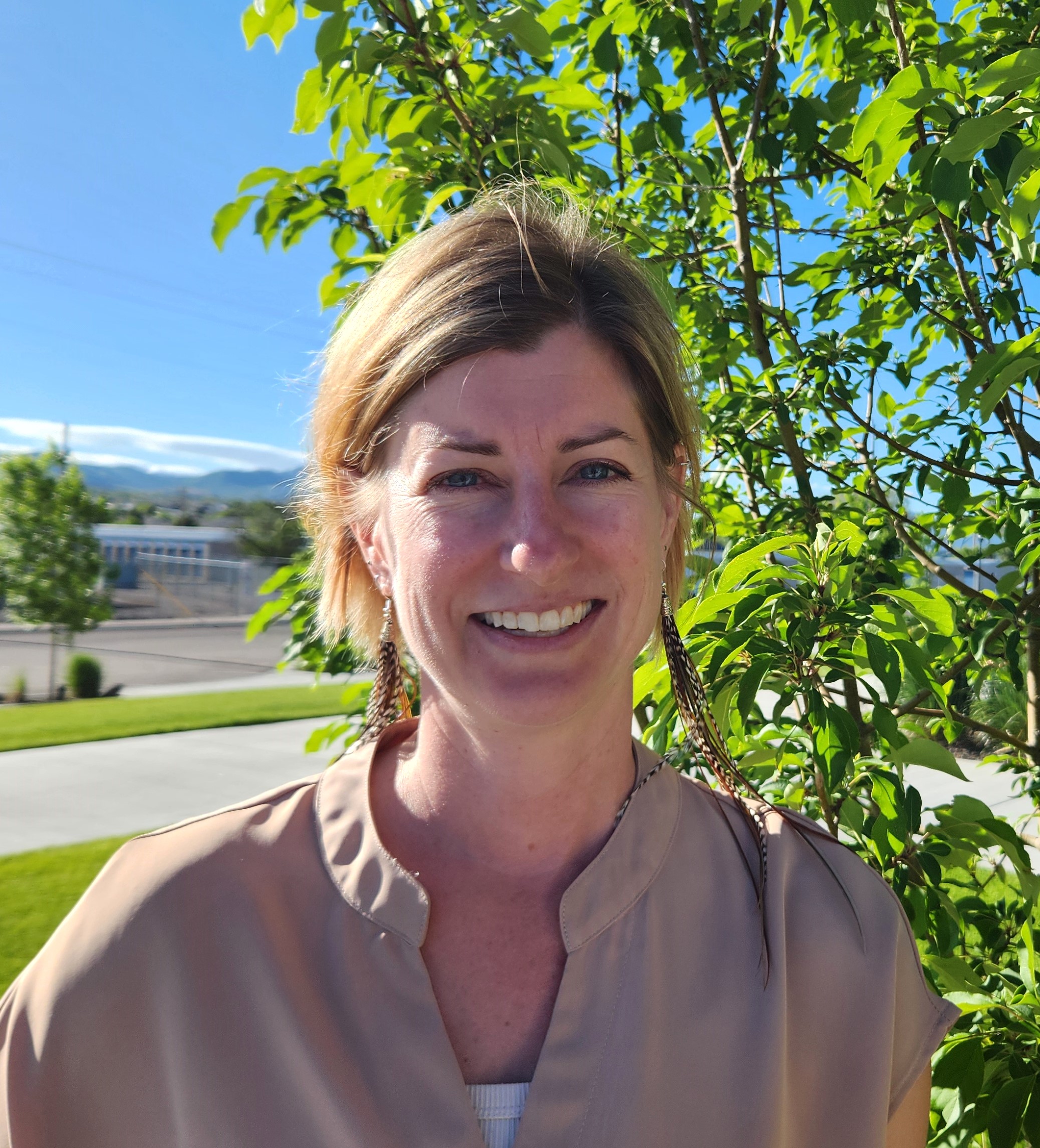
Sue Parsons is the GIS Coordinator for the City of Chubbuck, Idaho. She has lived in southeast Idaho since 2006, and earned her Master’s Degree and GIS Certificate from Idaho State University. Prior to joining the City of Chubbuck Public Works team, Sue spent a decade working as a GIS Specialist and Data Manager for a combination of NSF-funded grants, including the Reynolds Creek Critical Zone Observatory, Managing Idaho Landscapes for Ecosystem Services, and Genes by Environment (GEM3) at Idaho State, and the Dryland Critical Zone at University of Texas at El Paso. Sue enjoys spending time with her family, various outdoor sports, and DIY home improvement projects.
One Tribal Representative
Laurie Ames – Nez Perce Tribe (Term Ends: Mar 2026)

Laurie Ames is the GIS Coordinator for the Nez Perce Tribe. A graduate of the University of Idaho with a B. S. in Geography emphasis in Physical Science and Environment and completed the GIS Certification. She also has a M.S. in Geography in Remote Sensing/GIS course work completed ABT at University of Idaho. She has worked for the Idaho State Climate Lab as a Climate Technician and Idaho Department of Environmental Quality as the Smoke Management Coordinator for the initial Smoke Management Program in Idaho and helped write the first draft of Idaho’s Smoke Management plan. In 2002 she under took the job of building the Remote Sensing program at the Nez Perce Tribe on a NASA BAA grant in conjunction with the University of Idaho. The tribal council saw the benefit of remote sensing in managing the tribal lands and made the job permanent. When the current GIS Coordinator moved to a new position Laurie applied and was hired as the GIS Coordinator for the GIS program with a staff of four who oversee GIS software, manage data for all tribal departments and maintain servers and ArcGIS licensing for tribal department use. Additionally, GIS staff help departments with data analysis such as site selection of alternative crops and viability of reintroduction of the California Condor in the Hells Canyon area. It is Laurie’s desire to build relationships with other GIS staff and programs that led her to become a part of the IGC-EC because “Together we can do great things for the people of Idaho and the environment”. She loves all things Disney and cruising, looking out over the ocean from the balcony is extremely relaxing. An avid knitter and reader she can be found curled up somewhere with a book or knitting needles in her off time.
One Utility Representative
Katey Jones – Idaho Power (Term Ends: Mar 2027)
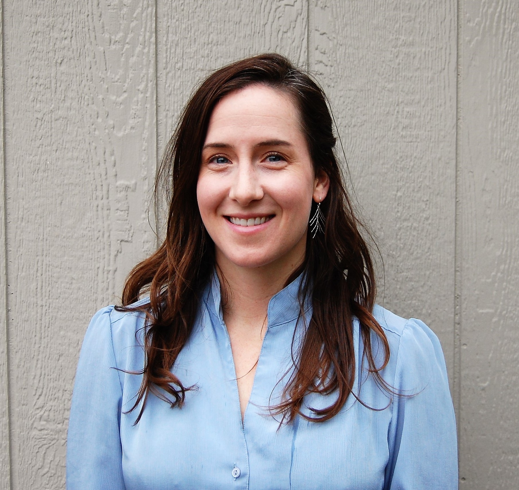
With over 15 years of experience in Geographic Information Systems (GIS), Katey has built a career specializing in transportation networks, public utilities, imagery analysis, and natural resource management. She earned her degree in Geography from the University of Nevada, Reno, in 2009 and have since worked across Nevada, Alaska, Oregon, and Idaho.
From 2010 to 2015, Katey served as a GIS Coordinator in Alaska, managing contracts focused on road and transportation networks, drone technology, and imagery analysis. Transitioning to the public works sector, she worked for the City of Pendleton, OR, and the City of Meridian, ID, from 2015 to 2019, where she played a key role in managing utility networks as a GIS Analyst and Coordinator. In 2019, Katey joined the Idaho Department of Fish and Game as a GIS Analyst III, contributing to conservation efforts and resource management. Currently, Katey serves as a Senior GIS Analyst at Idaho Power, supporting natural resource initiatives and field operations. She has called Boise, Idaho, home since 2015.
One Private Sector Representative
Stewart Ward – Dioptra LLC (Term Ends: Mar 2026)

Stewart Ward, PLS is a registered Professional Land Surveyor in Idaho, Utah, and Alaska. He is the managing partner at Dioptra LLC, a full-service Land Surveying and Geomatics firm located in Eastern Idaho. Stewart earned his Bachelor’s degree in Geomatics Technology from Idaho State University in 2008 and has been involved with surveying since 2001 with experience in land surveys, construction staking, control surveys, 3D Scanning, mapping and GIS applications.
Stewart has been involved with GIS since 2006. He has been involved with the Cadastral Reference TWG and Geodetic Control TWG and had a role in defining the attributes to be used in the Multi-State Control Point Database (MCPD). Stewart is currently the Chair of the Geodetic Control TWG.
Stewart is actively involved in the local, state, and national land surveying communities, serving in leadership roles at the local and state levels. He currently serves as the Idaho Director to the National Society of Professional Surveyors (NSPS).
.
Two Open Representatives
Tom Kearns – Idaho Department of Lands (Term Ends: Mar 2027)
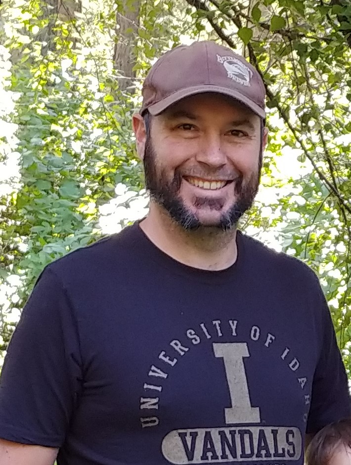
Tom Kearns is the Technical Services Bureau Chief with the Idaho Department of Lands. He started with GIS at the University of Idaho where he studied History and Geography. Tom was born in Albuquerque, New Mexico but has lived in Idaho for the past 25 years. Starting in Boise, he spent over 10 years in Moscow before moving to Coeur d’Alene where he lives with his wife and two awesome kids. He enjoys gardening, fishing and anything woods related.
Jaqueline Reader – GIS Contractor (Term Ends: Mar 2027)
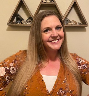
Jacqueline Reader, GIS Contractor working with the Idaho Department of Commerce and Idaho Office of Information Technology Services on Broadband mapping. Jacqueline was born in Germany while her father served in the US military, she was raised in Iowa, but has called Idaho home since 2001. Jacqueline is passionate about outdoor recreation and spending time with her family. She has worked at the City of Chubbuck since her final semester as a Geology student in 2017 and was promoted to GIS Coordinator shortly after obtaining her Master’s in GIS in 2021. She loves taking an active role in GIS and looks forward to contributing more through the IGC-EC.”
 Official Government Website