 Official Government Website
Introduction
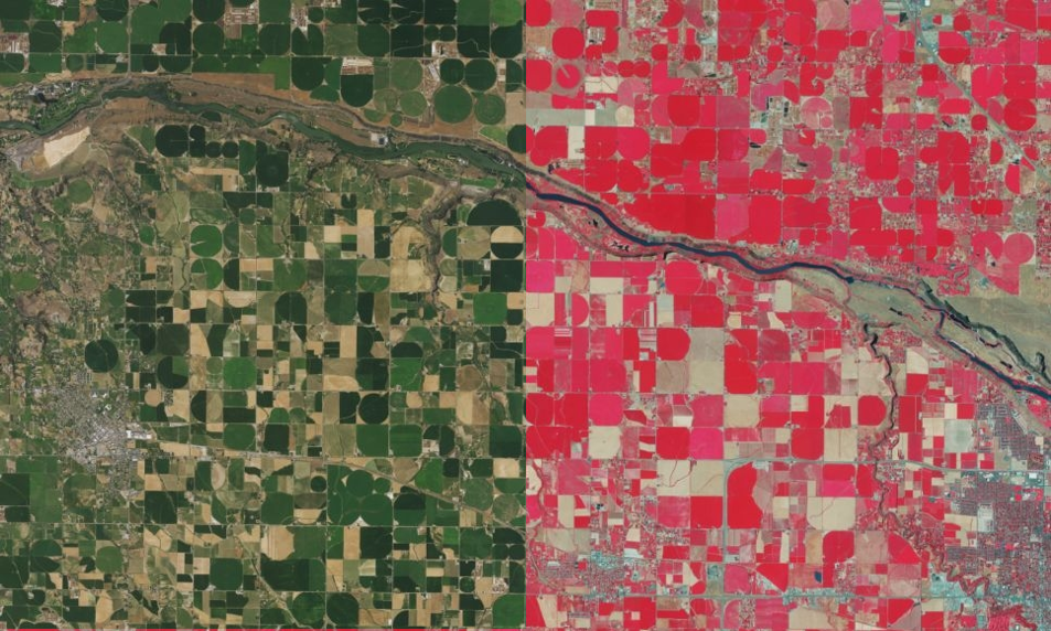
Georeferenced imagery is a fundamental data source in GIS. Not only can it be used as a background or basemap in many different GIS applications, but it is frequently used as an input data source for analyses such as determining presence and health of vegetation. Imagery is collected at different temporal resolutions (time between data collected of the same area), spatial resolution (size of pixels in the imagery) and spectral resolution (band combinations such as the red/green/blue bands of the visible spectrum, color infrared band, or thermal bands).
Imagery is stored as raster data and is collected from various sources – airplanes, satellites, or drones and using various sensors. In Idaho, imagery is collected and provided by many different agencies. For example, the USDA manages the National Agriculture Imagery Program (NAIP) collecting nationwide aerial imagery every 2-3 years. Additionally, many regional agencies such as counties and cities collect their own, internally funded high-resolution imagery. Esri basemap and Google, and Bing imagery, among others, are privately funded image collections released under different user licenses.
Note that imagery is expensive to collect, and not all georeferenced imagery collections are freely available for public use.
Vision
GIS professionals in Idaho have easy access to the “free to use” current and historical imagery that they can add as basemaps to their own GIS maps and applications or use in analyses. Imagery data is easy to find, easy to use, in a predictable format, and is well documented. Idaho has easy to use tools to find partners to share costs in future data collection, as well as tools to find out when and where agencies have collected imagery for purchase.
Goals
- Identify both current and historical imagery datasets that are publicly available.
- Develop standards and a nomination process to get imagery datasets included in the Idaho Map.
- If needed, develop stewardship plans and data sharing agreements governing the use of imagery datasets.
- Foster a collaborative work environment for data producers and consumers. This includes sharing information about public and for-purchase imagery data, fostering partnerships, and sharing data and information where possible.
- Develop a platform for GIS professionals to find partners for cost-sharing opportunities for future imagery data purchases and to provide information regarding existing imagery data available for purchase.
- Keep abreast of changes in federal programs or bills that may impact the availability of imagery data in Idaho and propose actions to protect its availability for GIS professionals in Idaho.
Framework Layer

Recent and Historical Imagery
An image web service contains all publicly accessible digital georeferenced aerial imagery collections at the University of Idaho Library. Individual collections can be filtered by the ‘DatasetID’ field. The default image display order is from most recent to least recent. New collections are added to this GeoService as they are received and processed. The University of Idaho Library welcomes submissions of data to enhance this collection.
Leadership
Margie Wilkins
Idaho Department of Water Resources
208-287-4884
margie.wilkins@idwr.idaho.gov
Next Meeting
1st Wednesday of the month at 10:00 am MT
Meeting Notes
- 2024-10-02: Presentation – USDA Leaf Off Imagery Program
- 2024-06-05: Recording – Montana Imagery Working Group
- 2024-06-05: Presentation – Montana Imagery Working Group
- 2023-11-01: Presentation: Hexagon Imagery
- 2023-03-01: Meeting Notes
- 2021-04-07: Meeting Notes