Official Government Website
Introduction
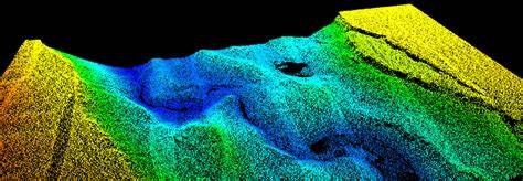
The Elevation Technical Working Group mostly focusses on Light Detection and Ranging (LiDAR) data and its derivative products such as digital elevation models, hillshade rasters and contour lines. LiDAR is a laser-based technology that provides 3-dimensional (3-D) data to develop bare earth, canopy, and other models of the earth’s surface necessary for mapping applications.
Lidar’s capabilities to derive fine-scale, 3-D data across relatively large swaths of the landscape make it unique from other Earth surface mapping technologies such as optical imagery (e.g., airborne-based National Agriculture Imagery Program (NAIP) imagery or satellite-based Landsat imagery).
Lidar is most commonly collected via airborne platforms when large swaths of data are needed. Nationally, lidar has been collected by local, state, and federal agencies, tribal governments, private sector, universities, and non-governmental organizations (NGOs).
Vision
High quality LiDAR data and derivative products are available for the entire State of Idaho and LiDAR collections is made more affordable through active collaboration between State, Federal, Local and Private organizations.
Goals
- Support the LiDAR Consortium and encourage collaborative efforts to collect LiDAR data through the consortium. Encourage partnerships between federal, local, state and private agencies to collectively purchase LiDAR data.
- Have LiDAR data available for the entire State of Idaho
- Develop standards and nominations for LiDAR data and derivative products for inclusion in Idaho’s Spatial Data Infrastructure (“the Idaho Map”)
- Share examples of how LiDAR and derived elevation products are being used and teach people how to process and use LiDAR data
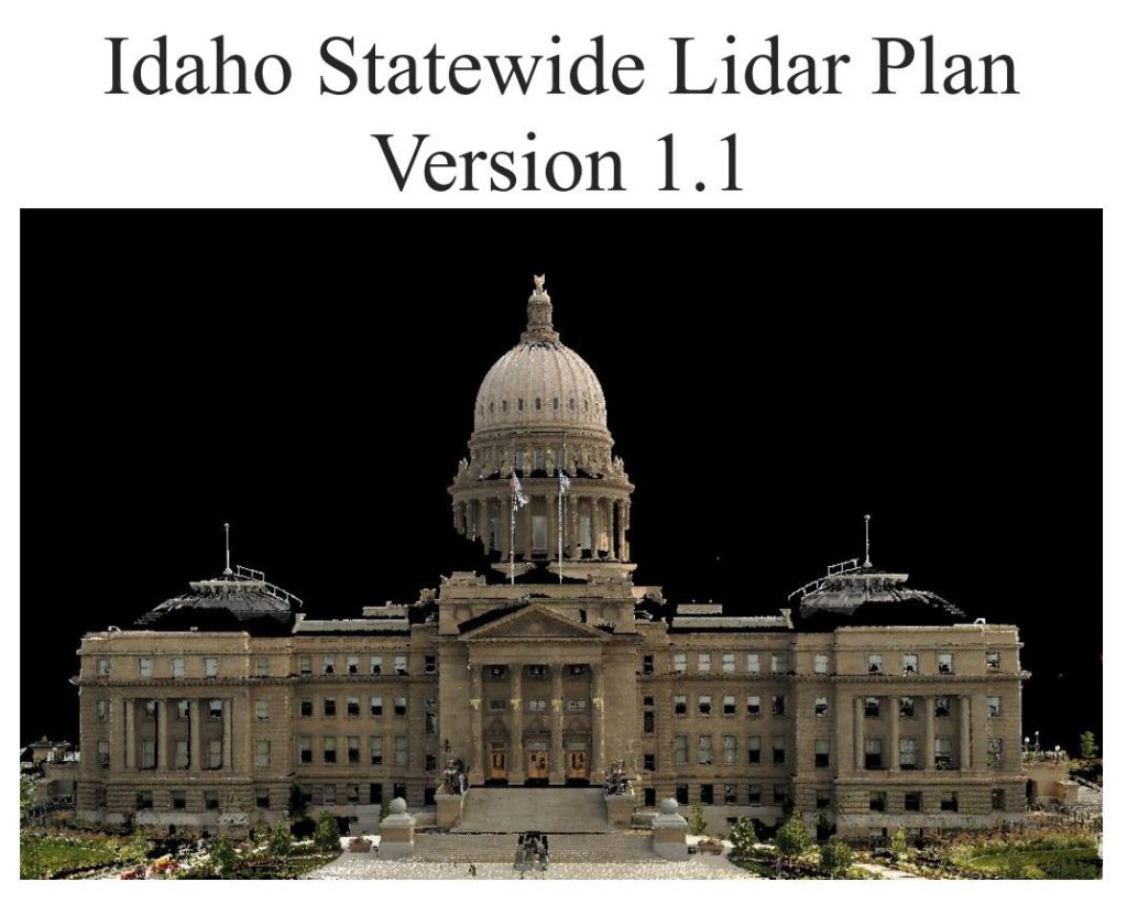
- Idaho Statewide Lidar Plan Version 1.1
Presentations
Lunch & Layers Webinar, 4/24/2026, “How do you utilize LiDAR in your workflows?” YouTube link
Framework Layers

LiDAR Raw Point Cloud Data
Check back for updates. Meanwhile you can download data for many areas in Idaho.
Help Idaho reach 100% LiDAR Coverage
Idaho is putting together a USGS 3DEP Broad Agency Announcement to cover Ada, Canyon and other gaps in Idaho not already covered by LiDAR. Please use this form to show your ability to support this effort.
Leadership
Josh Enterkine
Remote Sensing Research Associate – Geoscience
Boise State University
(208) 426-2933
joshenterkine@boisestate.edu
Next Meeting
Check the Calendar for more information.

- Visit the LiDAR Consortium
- View Existing Data
- Upcoming Data Collections
- Wishlist and Collaboration
- Download LiDAR Data
Meeting Notes
- LiDAR Tech Talk – August 2024
- April 27, 2022
- March 3, 2022
- February 6, 2022
- January 6, 2022
- December 2, 2021
- November 4, 2021
- October 7, 2021
- September 2, 2021
- August 5, 2021
- July 1, 2021
- June 3, 2021 – Whitepaper – Presentation
- May 6, 2021
LiDAR Plan