Official Government Website
Introduction
There are three elements in this theme: Land Cover, Land Use, and Land Tenure that each have a different focus but are all important for realizing substantial improvements in land management, economic development, public safety, government efficiency, and citizen empowerment.
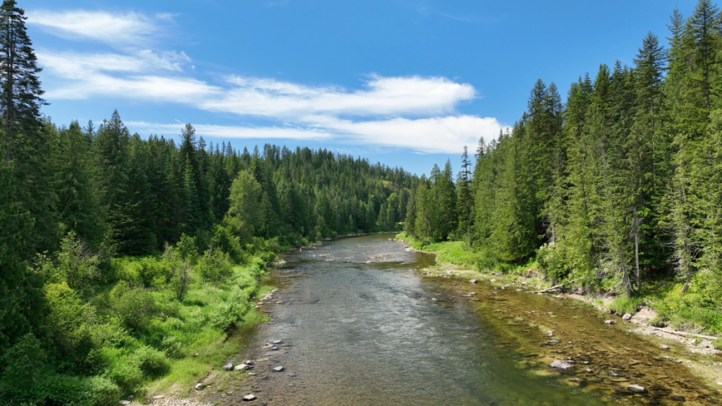
Land Cover is the physical material on the surface of the earth. Examples includes grass, asphalt, bare ground and water. There are two primary methods for capturing information on land cover: field surveys and remotely senses imagery.
Land Use is the physical utilization of the land by people is constrained by land tenure. At any one point there may be multiple land uses, which are regulated by local, state and federal land use law. Land uses are difficult to discern by examining only land cover. For example, trees land cover may indicate a land use type of plantation or a land use type of conservation.
Land Tenure is a legal term as land owned by an individual, corporation or public agency who is said to ‘hold’ the land. Land tenure refers to how a society mediates are regulates land use. A land tenure dataset may identify the owner, manager, and the applied management regime. Land under private ownership may be identified simply as ‘private’. Land Tenure for public agencies is discussed in the Administrative Boundaries Technical Working Group and information regarding private land ownership is discussed in the Parcel Technical Working Group.
Vision
GIS Professionals, Agencies, and Private citizens in Idaho have access to a comprehensive suite of authoritative datasets related to land cover, land use and land tenure that is authoritative, high-quality, well documented, standardized, easy to find and in a format that is easy to view and use.
Goals
- Identify which data topics should be included in each of the three elements: land cover, land use and land tenure.
- Work with the Biosciences Technical Working group to determine which data topics, especially those related to habitats such as riparian areas and wetlands, should be included withing the Land Use Land Cover TWG, and which topics will be managed by the Biosciences TWG.
- For the identified topics, identify the authoritative dataset and evaluate the quality, completeness and infrastructure and access to those datasets. If standardized, comprehensive datasets do not exist yet then help facilitate the creation of those datasets.
- Develop standards including standardized data schemes for the datasets that should be included in The Idaho Map. Work with the Idaho Geospatial Council and its Executive committee to have those standards approved and develop nominations for inclusion of those datasets in The Idaho Map.
- Participate in discussions for the vertical integration of datasets, for example when administrative boundaries related to hunting follow boundaries in other administrative datasets
- Identify trends and issues related to Land Use and Land Cover that may impact the GIS community in Idaho, for example when Federal legislation or trends impact the access to, and distribution of data.
- Provide a forum where different stakeholders with an interest in GIS data layers belonging to the Land Use and Land Cover theme can communicate, collaborate and learn from each other.
Framework Layers