 Official Government Website
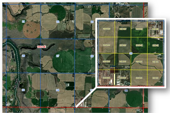
Cadastral Reference is the spatial grid of township, range, section, quarter-quarter lines, special surveys, mineral surveys or any line or corner established by a federal survey generally referred to as the Public Land Survey System (PLSS).
Leadership:
There is a need for a chairperson for this TWG. If you are interested, please contact Michael Woodford, State GIO or Wilma Robertson, Chair of IGC-EC
Overview
VISION Idaho has a statewide Cadastral Reference base map that is:
- Seamless
- Meets accuracy needs and standards
- Easily accessible to the GIS community and the public
- Digital
- Mutually beneficial to both the data producers and the data consumers
- Continually maintained
- Supports a multi-purpose land information system
- Strives to comply with appropriate state and national standards, and
- Will continue to be improved over time
GOALS and OBJECTIVES
- Describe the current status of the GCDB and 24K PLSS across the state including statements of accuracy
- Inventory and describe the current uses of the GCDB, 24K PLSS and local cadastral reference systems for GIS mapping, especially parcel mapping
- Document and present what has been shown to be possible at a local, regional, and state level, using examples of successful systems
- Develop and implement, short-term, temporary procedures to assist with various GIS cadastral reference data needs while more long-term permanent solutions are being developed
- Establish an education and outreach program supporting the vision
- Work with BLM and local stakeholders to accomplish GCDB accuracy enhancement in priority areas
- Establish a central web based application that would allow licensed land surveyors to input control point and other monument coordinates with accompanying metadata, and make it accessible to other surveyors and the general public
- Promote the use of standards for reporting control data
- Where appropriate, use the information placed in the central control point database to enhance the GCDB
- Promote legislation and public policy including developing a funding mechanism to support the vision