Training
If you are working for an Idaho State Agency you are welcome to attend any of the training offered by the Office of Information Technology (ITS), most of the training being free. Access our Training Catalog to learn more. Check back this fall for new class offerings.
Upcoming Online Classes and recordings of previous classes:
- Getting Started with ArcGIS Online Part 1 View recording (1/7/2021) and accompanying workbook.
- Survey123 Part 1 View recording (1/19/2021) and accompanying workbook.
- Survey123 Part 2 View recording (2/9/2021) and accompanying workbook
- Getting Started with Dashboards – View recording (2/25/2021) and accompanying workbook
- Getting Started with ArcGIS Online Part 2 – View recording (3/16/2021) and accompanying workbook
- ArcGIS Apps for the Field, an introduction by Scott Moore and Chris Marsh (Esri) – View recording 3/30/2021 and slides
- Getting Started with Story Maps – View recording (4/8/2021) and accompanying workbook
- Building Initiatives on ArcGIS Hub – View recording (6/2/2021) and accompanying workbook
- Getting Started with Experience Builder – View recording (6/24/2021) and accompanying workbook
- Getting Started with Maps for Office – View recording (7/20/2021), accompanying workbook and download exercise data
Esri GIS Software and Licensing
ITS manages the Esri GIS Licensing for a number of Idaho State Agencies. Consolidating licenses, and centralized license management provides more flexibility and typically a reduction in cost for those agencies. This is especially true for agencies that only have a small or moderate number of licenses.
Please contact ITS if you, as an employee of an Idaho State Agency, would like to try out GIS Software, start using GIS or if you have any question about how GIS could benefit your agency. Also contact ITS if you would like to make any changes to the GIS licenses you currently have.
Product Licenses Managed by ITS
ArcGIS Desktop is a foundational piece of software for GIS Professionals to create, analyze, share, manage and edit spatial data
ArcGIS Pro is the successor to ArcGIS Desktop and is better integrated with online ArcGIS software Components
Extent the functionality of ArcGIS Desktop or ArcPro with the Spatial Analyst and Network Extensions
Publish and Manage ArcGIS Web Services. Coming soon: Portal
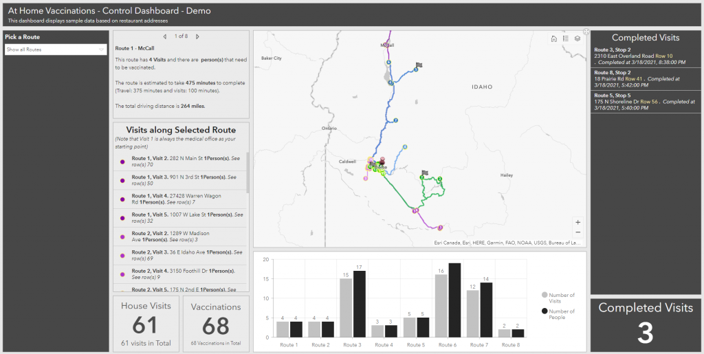
Create online maps, applications, dashboards and story maps. Collect data using Survey123, QuickCapture and Field Apps.
Develop initiatives for community engagement
GIS Support
Whether you are looking for help on a specific GIS project, not sure where to begin with GIS or how to get past an obstacle in your GIS Workflow please contact us for GIS Support. We may be able to:
- Help you determine the best approach to solving a problem using spatial intelligence and GIS
- Help you get started with a new GIS product
- Help you find the data you need for your GIS project
- Give you a second opinion on how to approach a specific problem
GIS Projects and Consulting
ITS can also provide consulting support to help you finish projects that have a GIS component. Please contact us to discuss your project and how we can help you.
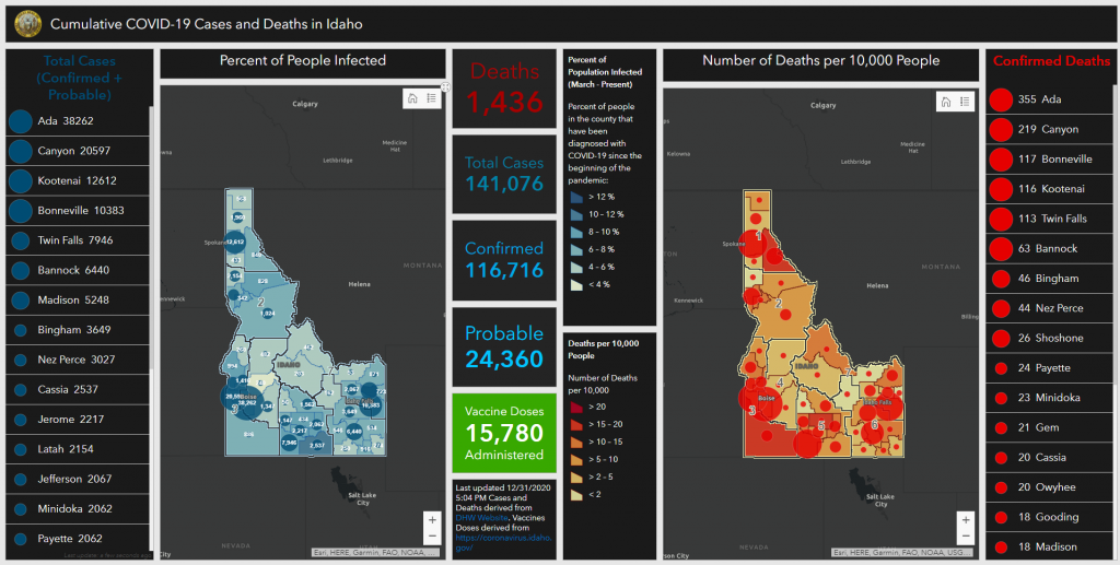
Some recent examples of projects done by ITS:


 Official Government Website


